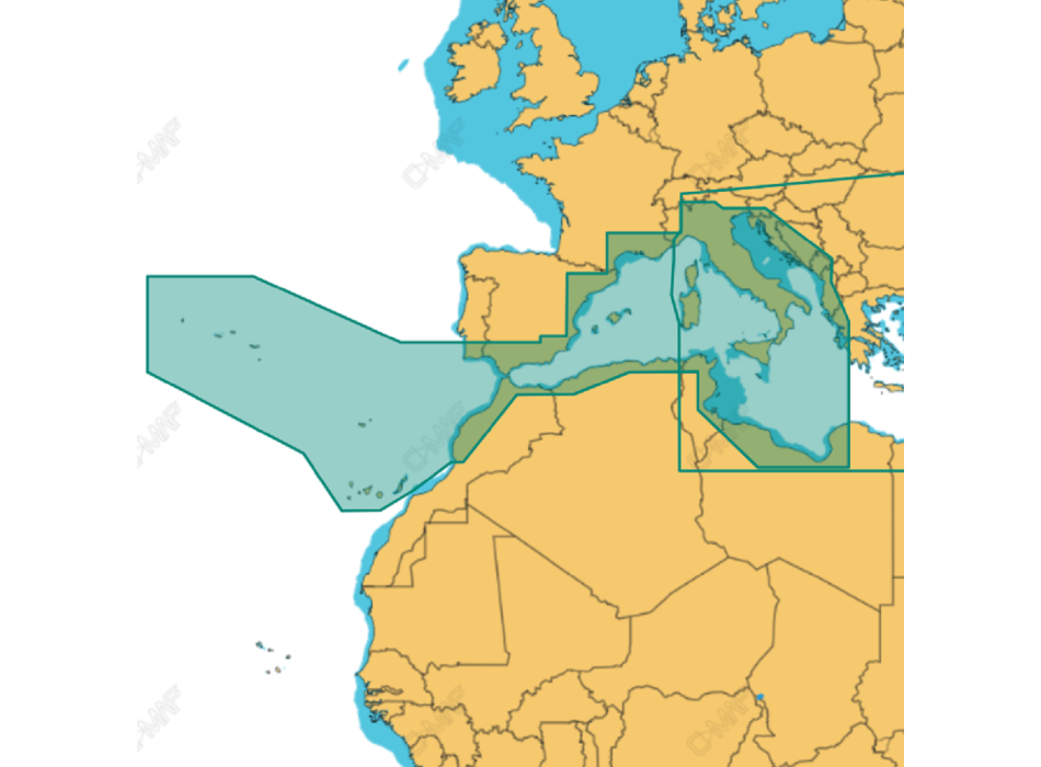
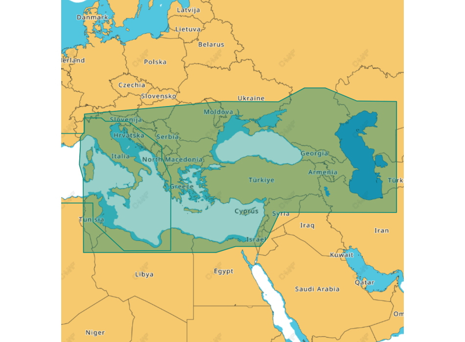
C-MAP Wide 4D MAX cartography SD-MicroSD support
Compatible with Raymarine - Furuno - Standard Horizon
C-MAP 4D MAX + represents the latest technological evolution in the world of electronic cartography, which combines vectorial cartographic data, with Raster charts, 2D visualization, 3D representations and high resolution satellite images. It is a product characterized by innovative elements, designed to make every cruise, fishing or navigation experience more intense.
Compatible with major navigation system manufacturers such as Furuno, Humminbird, Raymarine and Standard Horizon.
LOCAL and WIDE covers available all over the world at costs that meet the needs of any navigator.
Ability to add Value Added Data.
C-MAP 4D charts offer details, useful information and a wide range of options for your safety on board and for your enjoyment during fishing, sailing and navigation.
It offers a wealth of cartographic detail and the ability to customize the data on the map thanks to different overlay or display modes.
With raster maps, you have one more reference for navigation information. Thanks to the raster cartography superimposed on the 3D vision, you will enjoy a unique visual experience.
The world is three-dimensional. The most detailed database available, with heights and depths in 3D.
C-MAP 4D offers stunning high-resolution coastal images embedded in highly accurate and up-to-date vector data, as well as thousands of stunning photos of the best known marinas and landmarks.
More detailed depth and depth contours than conventional nautical charts for easier and more precise fishing trips.
It allows you to calculate the shortest and safest route to reach a destination, also showing any and potential dangers along each leg of the journey.


