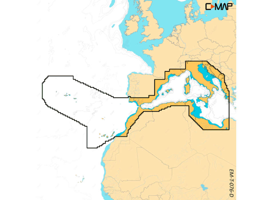
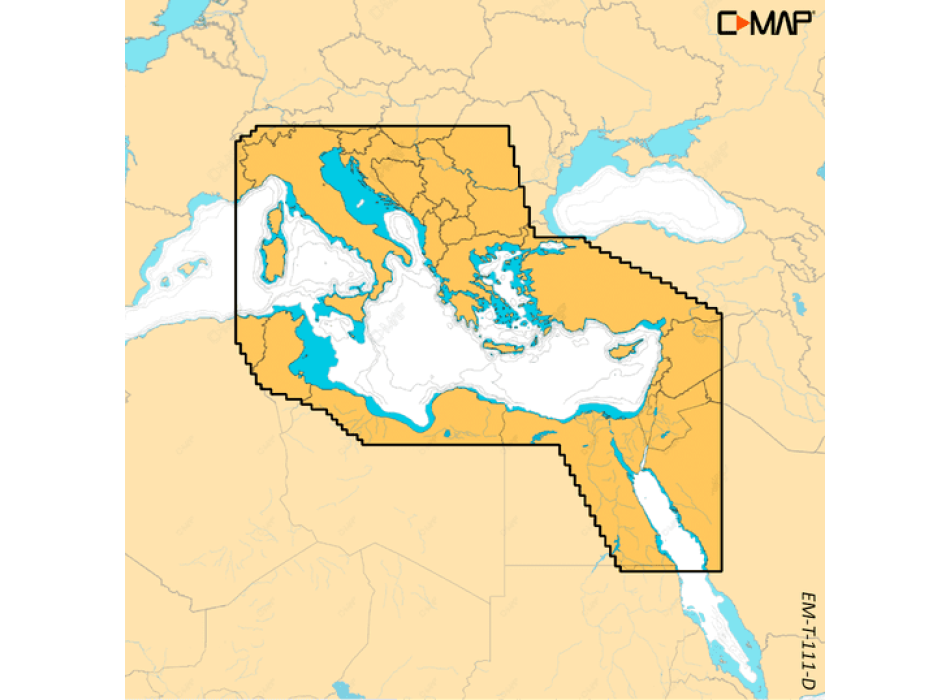
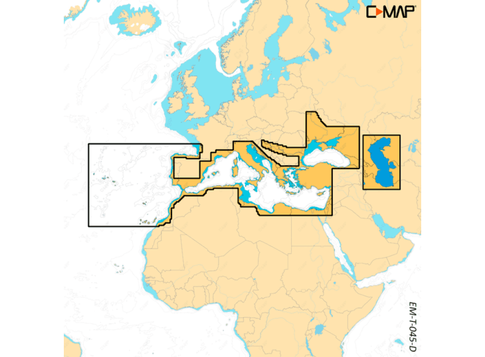
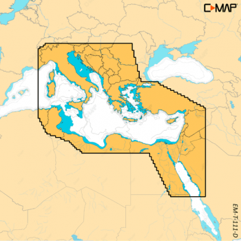
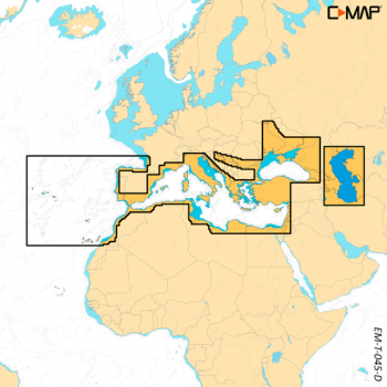
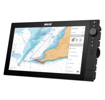
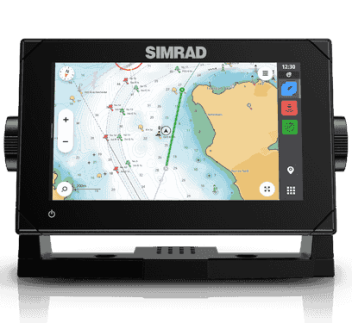
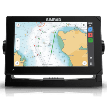
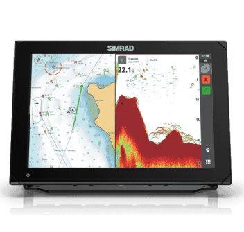
C-MAP DISCOVER X cartography SD-MicroSD support
Compatible with SIMRAD NSX only
C-MAP DISCOVER charts offer reliable data and advanced mapping functions to all owners of compatible Simrad NSX navigation systems.
If the sea is your passion, the C-MAP charts will make your navigation experience unique thanks to the offer of wide coverage, cutting-edge features and constantly updated data.
DISCOVER is what you need to make the most of your time on the water. Comprehensive vector maps, with high resolution bathymetry, integrated Genesis® social data, Easy Routing ™ without subscription, and Custom Depth Shading. See the world your way with C-MAP.
MAIN FEATURES Full vector cards
Tides and currents
High resolution bathymetry
Detailed plans of ports and marinas
Integrated Genesis layer
Custom depth shading
Free updates for 12 months
Easy Routing without subscription
HIGH RESOLUTION BATIMETRIC LAYER
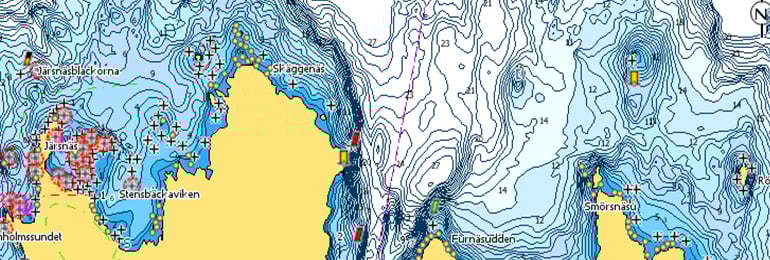
The High Resolution Bathymetric Layer (HRB) allows you to identify shallow water, overhanging walls, ledges, holes or ridges, thanks to precise edge lines with a level of detail of 1 foot. Collects the best data from C-MAP's HRB, including C-MAP Team Lake Surveys (US only) and Genesis® social maps, verified and integrated.
CUSTOM DEPTH SHADING
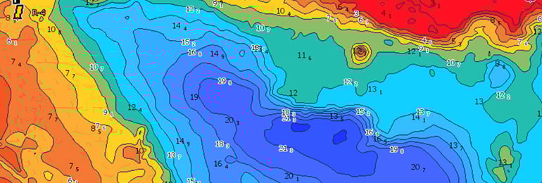
Custom Depth Shading lets you set a safe depth, map-like view, or custom shading to let you see the world your way.
EASY ROUTING
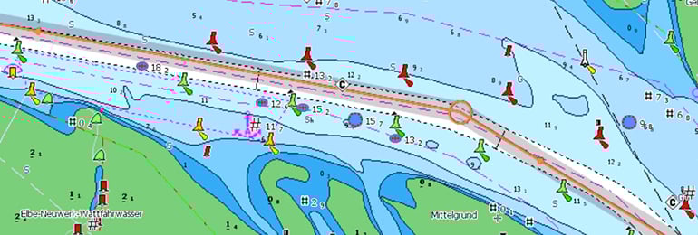
Easy Routing helps you to automatically plot the shortest and safest route based on detailed chart data and personalized information about your vessel. With C-MAP, Easy Routing is always free.

