Garmin GPSMAP® 276Cx
The legendary all-terrain navigator is back
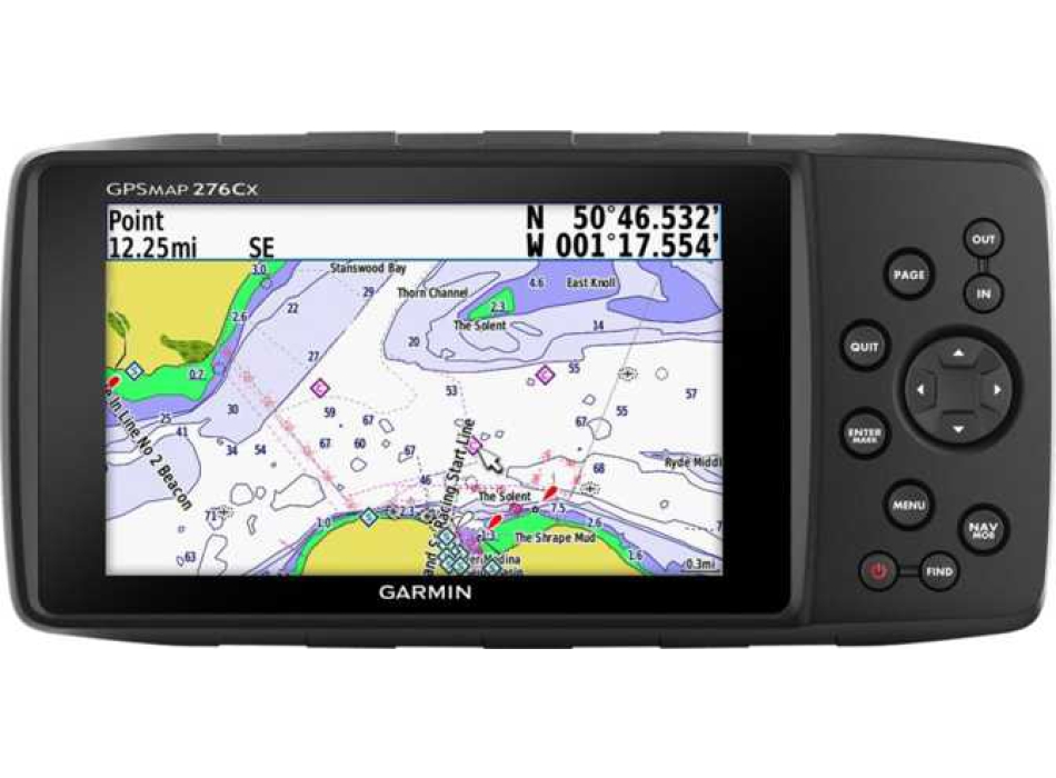
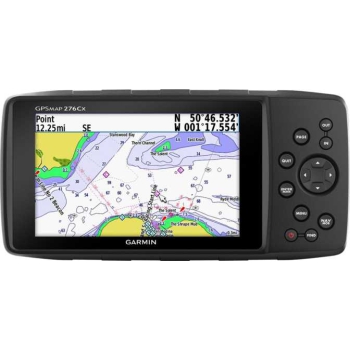
New "all-terrain" navigation tool, developed starting from the legendary GPSMAP 276c. While maintaining all the established characteristics of the model from which it derives, many of the most current technological innovations have been added to the new GPSMAP 276Cx, such as the reception of the two GPS satellite networks and GLONASS, a large and bright 5 "screen that can be read even in bright light, a barometric altimeter, a 3-axis compass and many other modern navigation features. The instrument has 8 GB of internal memory, and the micro SD slot to add cartography on the card.
Its strengths:
It retains the classic, versatile and extensively tested side button user interface that was in the GPSMAP 276
Large 5 "screen readable even in bright sunlight with a wide viewing angle, the ideal size for a rally bike, 4x4 or small boat
Modern and advanced navigation features: road driving mode, route calculation on scenic roads, advanced track navigation etc. make it suitable for any navigation situation, even the most extreme
Compatible with Italy TrekMap V4 PRO topography cartography in active routing and BluChart G2 nautical, perfect for pleasure boating and as a stand-alone product because it is also powered by battery
Can be associated with the smartphone to receive smart notifications and LiveTrack; compatible with Bluetooth helmets for driving instructions, WiFi® and ANT + ® technologies for the integration of additional sensors such as eg. the TMPS (Tire Pressure Monitoring Sensor)
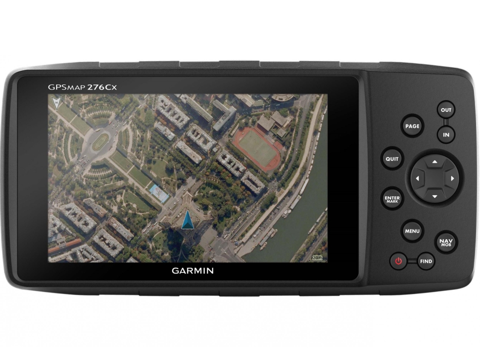
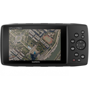
Preloaded recreational map of Europe and 1 year free subscription to BirdsEye satellite imagery
Powered by internal rechargeable battery or AA batteries (not included) to never remain "on foot"
 The real experience 276
The new GPSMAP 276Cx was developed from the legendary GPSMAP 276C, Garmin's most versatile and powerful outdoor navigator ever designed. To ensure the real 276 experience, Garmin has kept the same user interface - even the keyboard has remained the same as that of its predecessor. Fans of the 276 will appreciate the extraordinary degree of customization of the new navigator and will be amazed at all the new features added compared to the classic 276.
Advanced sensor technology
The sensor technology of the GPSMAP 276Cx has been completely updated. The device includes GPS and GLONASS localization for optimized performance in difficult-to-receive environments; an external antenna (not included) has been added to the integrated MCX connector to obtain optimal satellite detection inside the vehicle. To increase the knowledge of the surrounding environment it is also equipped with a barometric altimeter to provide simple altitude readings and a 3-axis electronic compass for correct detection in any condition - even when stationary.
Outdoor optimized user interface
We know how important it is to have optimal readability during navigation, so we have created the new GPSMAP 276Cx with a large 5 "anti-glare screen with bright colors for better reading of maps. Thanks to its extraordinary viewing angle it can be clearly consulted by so even when mounted on a dashboard, the visibility and button interface allow safe use even in unstable positions, such as on a dinghy or off-road.
Sturdy and durable
Designed to Garmin's high standards, this device delivers its exceptional performance in all conditions of use. It is highly durable thanks to a solid mounting system and IPX71 waterproof. With over 4 years of experience working on Montana®, we are able to provide solid supports to suit any type of vehicle and vessel. To give you even more freedom we have designed the most flexible device in terms of power supply - you can connect it to the power socket of your vehicle or boat or use lithium-ion batteries (up to 17 hours of battery life) or Optional 3 AA batteries (up to 9 hours of battery life).
More maps and more memory capacity
Wherever you are headed, whether on land or on the water, the GPSMAP 276Cx has a compatible map to help you get to your destination. It comes with large 8GB internal memory preloaded with a world basemap, a recreational map of Europe and includes 1 year of free subscription to BirdsEye satellite imagery. In addition, it supports a number of optional maps, such as BlueChart® g2 HD marine charts, TrekMap Italia V4 and TOPO PRO topgraphic maps, City Navigator® NT, Garmin Custom Maps and BirdsEye Select raster maps. A microSD ™ slot allows you to further expand the memory to load additional maps.
More navigation
The GPSMAP 276Cx offers additional navigation features such as the popular Drive mode for road navigation or route calculation Scenic roads for motorcyclists, which highlights secondary and more fun roads to ride on a motorcycle. When used together with TOPO PRO maps such as the Italy TrekMap V4 PRO, the device is able to select between different recreational route calculation options based on specific activities or vehicles, active routing. And for those who prefer route and track navigation, the new 276Cx also provides advanced track navigation.
Optimized connectivity features
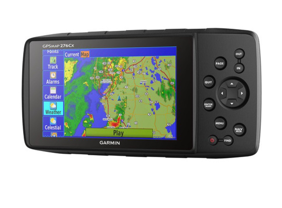
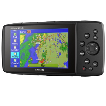
The new GPSMAP 276Cx also comes with a number of advanced connectivity features. You can connect the 276Cx via a Bluetooth headset to receive TTS indications directly in the helmet. Alternatively, once connected to your smartphone2 you can receive Active Weather3 info, which provides weather forecasts and animated radar views on the map, Smart Notification, such as email, SMS or social media updates, or LiveTrack, which allows you to share your exact location with friends and family. Additionally, the device can wirelessly connect to external sensors via ANT +, such as tempe ™ for outside temperature readings or TMPS for tire pressure readings, or you can connect it to WiFi to perform over-the-air updates.
Packaging
GPSMAP® 276Cx
1 year subscription to BirdsEye1 satellite imagery
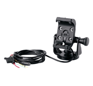
AMPS technology mounting bracket with nautical bracket
Li-ion rechargeable battery
USB cable
AC charger
Fast guide
1 Water resistance classification
2When paired with a compatible phone
3Active Weather is available in the UK, Ireland, Portugal, Spain, France, Germany, Belgium, the Netherlands, Luxembourg, Switzerland, Denmark, Norway, Sweden, Finland, Austria and Slovenia with partial coverage in Northern Italy.
Wi-Fi® is a registered trademark of the Wi-Fi Alliance. The Bluetooth® word mark and logos are owned by the Bluetooth SIG, Inc. and any use by Garmin is under license.


