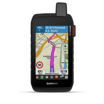
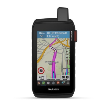
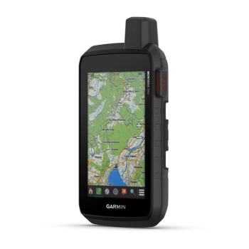
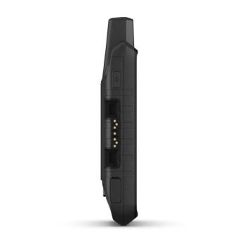
Montana® 750i
Rugged GPS navigator with touchscreen, equipped with inReach® technology and 8 Mp camera
LIVE YOUR ADVENTURE WITH A SATELLITE CONNECTION
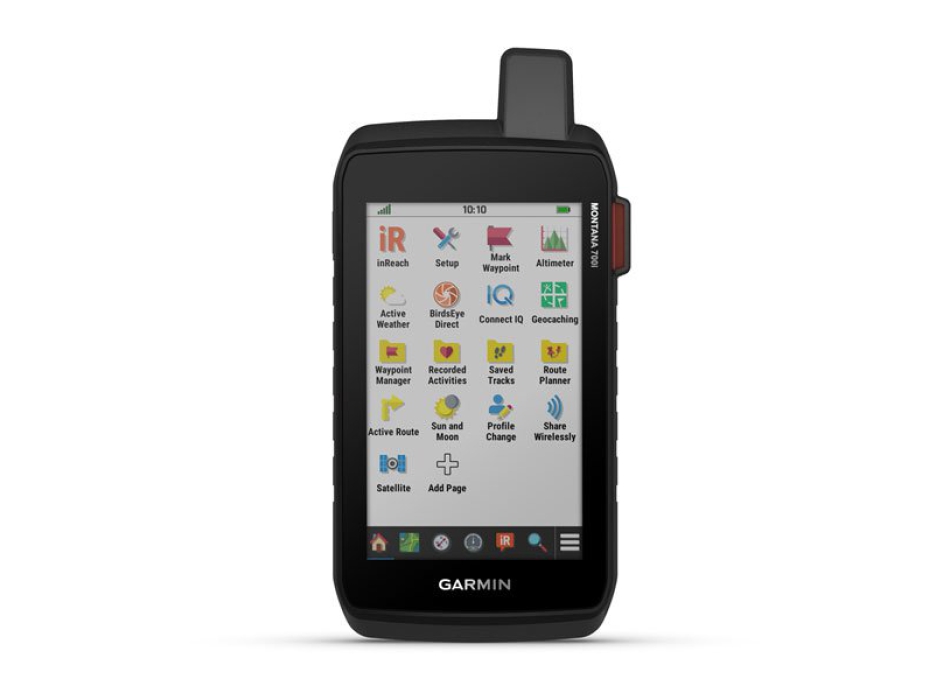
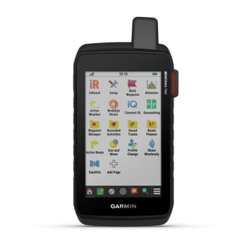
To keep adventurers in touch and on the right path, the Montana 700i handheld device combines the best on-road and off-road navigation with two-way messages and interactive SOS via inReach 1 satellite technology

Big news. The QWERTY keyboard allows you to type messages easily.

Extend your routes but stay connected with inReach for messages and SOS 24/7.

Take a picture and geo-references of the location where it was taken will be automatically assigned

Preloaded TopoActive Europe maps. You are now free to choose road or off-road routes.

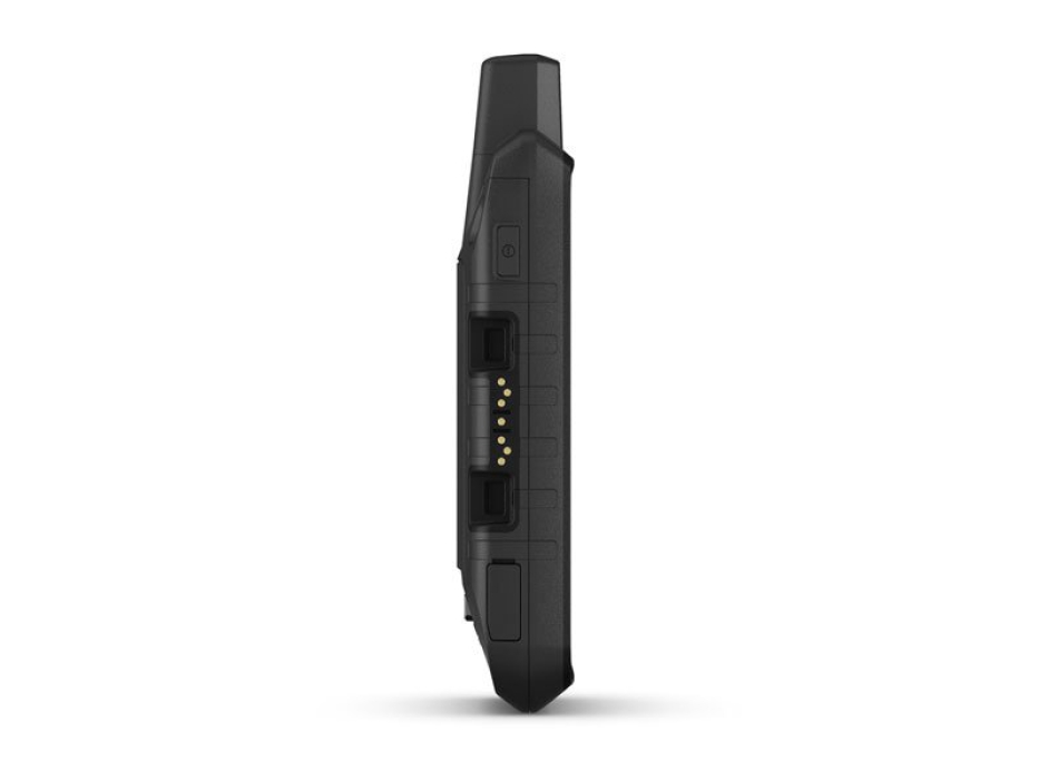
Compliant with MIL-STD 810 standard to withstand extreme temperatures, shocks, water and vibrations.

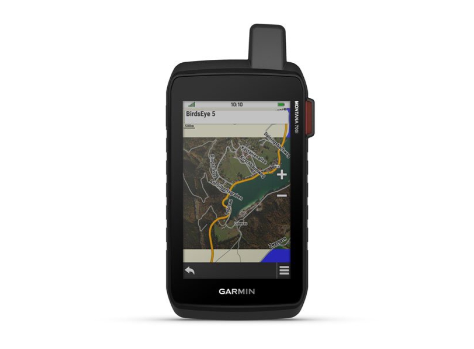
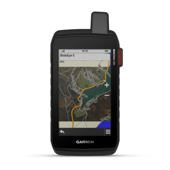
BirdsEye satellite imagery downloadable directly to your device.

Live your adventures thanks to the lithium-ion battery with a duration of over 18 in GPS mode.
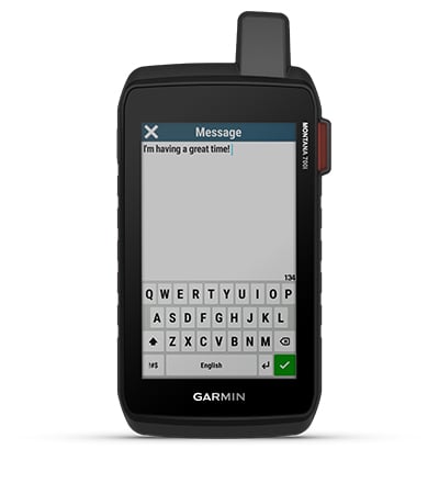
BIDIRECTIONAL MESSAGE
Exchange text messages with your friends / family, post on social media or communicate from one inReach device to another (satellite subscription required).
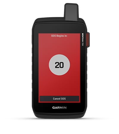
INTERACTIVE SOS
In the event of an emergency, press and send an interactive SOS to GEOS, the international rescue and monitoring center, operating 24/7 (satellite subscription required).
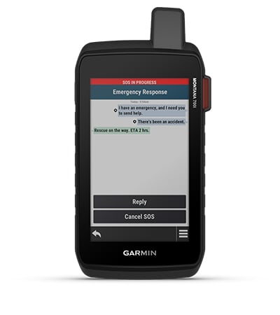
IRIDIUM GLOBAL SATELLITE NETWORK
Instead of relying solely on smartphone coverage, your messages, SOS requests and tracking are transmitted via the Iridium ® global satellite network (active satellite subscription required).
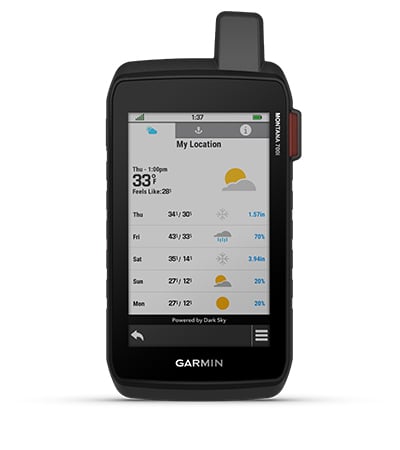
INREACH WEATHER FORECAST SERVICE
The optional inReach weather forecast service provides detailed updates directly to your Montana mobile device or a paired device to let you know in advance what the weather will be on your route.
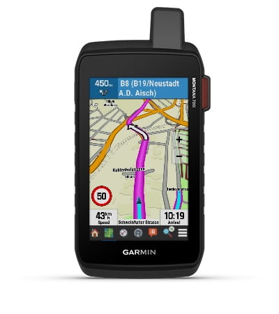
CITY NAVIGATOR MAPS
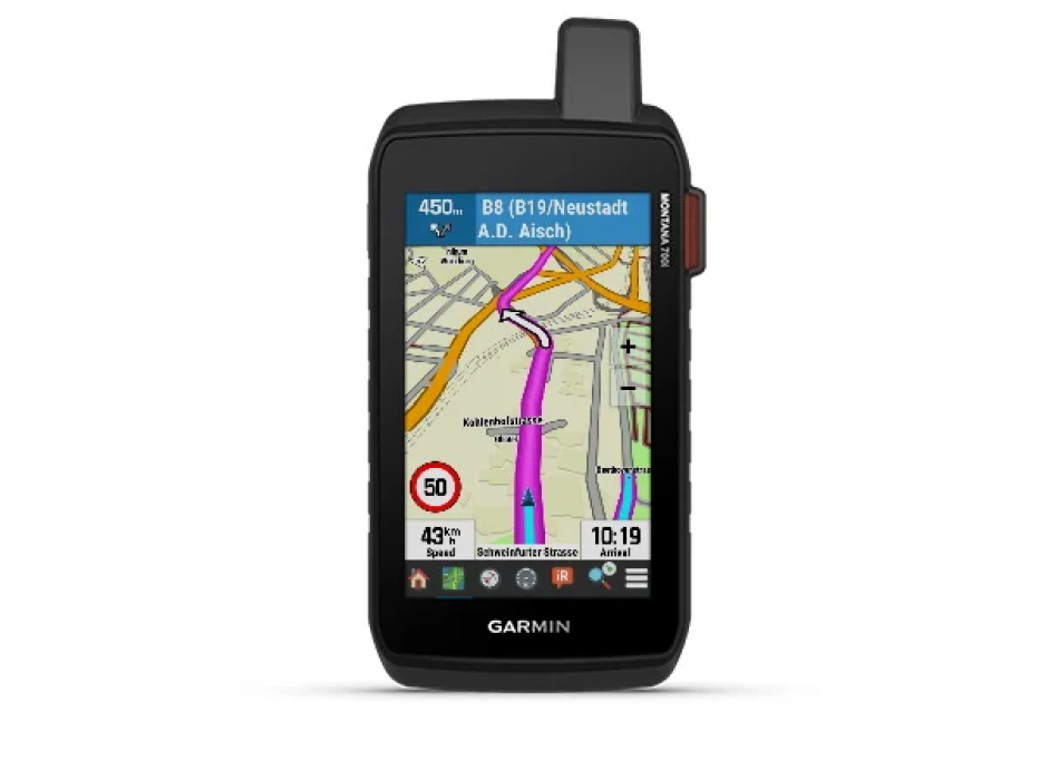
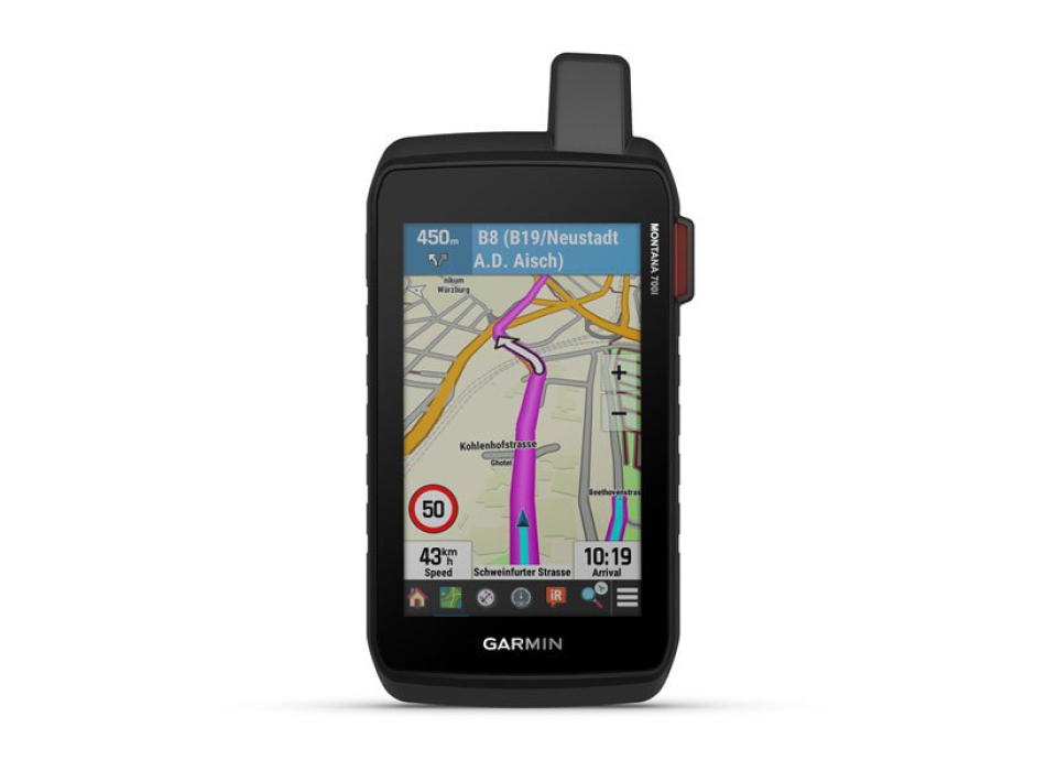
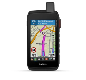
Seamlessly switch between routes and on-road navigation with preloaded City Navigator street maps, which guide you through simple turn-by-turn directions with pronounced street names.
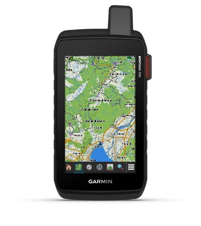
TOPOACTIVE EUROPE MAPS
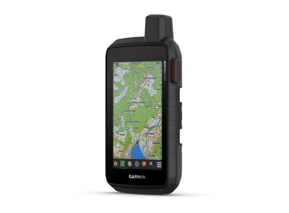
For your adventures, use the preloaded TopoActive Europe maps. View elevations, coasts, rivers, and more
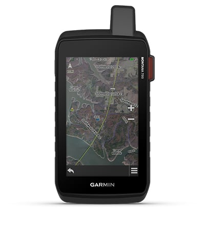
BIRDSEYE IMAGES
Direct download of BirdsEye satellite imagery to your device (no annual subscription required) allows you to view photorealistic views and create waypoints based on landmarks.
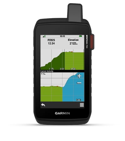
ABC SENSORS
Walk your next path with ABC sensors; includes an altimeter for elevation data, a barometer to monitor the weather and a 3-axis electronic compass.
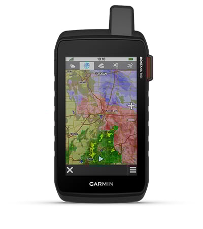
WEATHER FORECAST
Cellular Connection 2 allows you to access updated weather forecasts via the Garmin Connect ™ app.
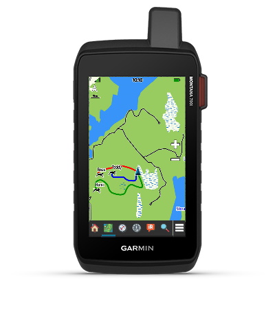
TRACKING CINOFILO
For hunters and trainers, Montana allows you to synchronize with portable Astro ® or Alpha ® series devices (sold separately) to track and track dogs.
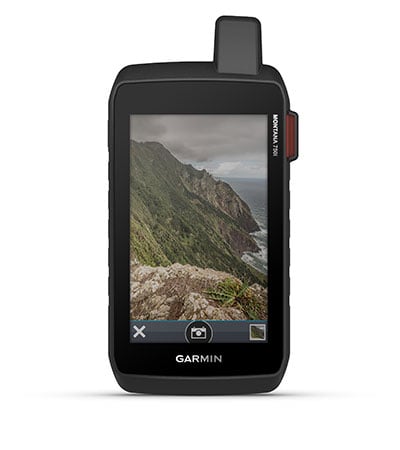
INTEGRATED CAMERA
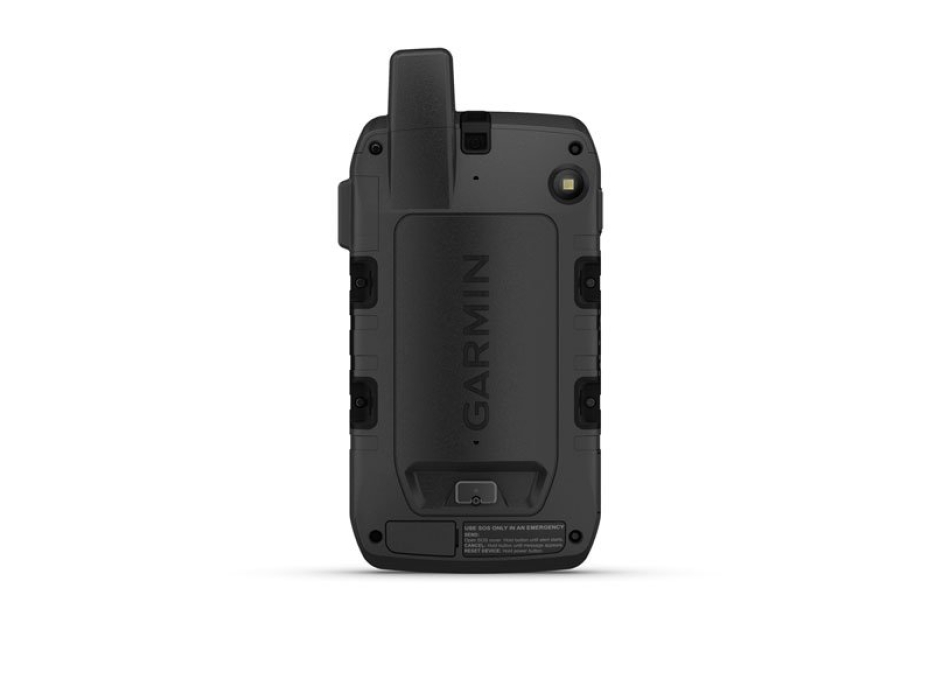
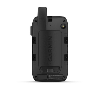
Capture images of your adventures with the integrated 8 megapixel digital camera. You can assign geotags of the location where the photo was taken, allowing you to go back to the exact spot in the future.
MULTI-GNSS RECEPTION
Access to the GPS, GLONASS and GALILEO satellite networks allows Montana ® 700i to acquire location in more remote areas than using GPS alone.
TRACKING
Track your location and share it with whoever is at home or in the field. This way, you can allow others to view your progress or send your GPS location and more via the MapShare ™ web page (Montana 700i, 750i only, satellite subscription required).
EXPEDITION MODE
Use Expedition Mode to extend Montana's battery life for a week or more. With this mode, the screen turns off, the device goes into energy saving mode but continues to collect, albeit in a reduced number, the GPS track points.
EXTENDED BATTERY LIFE
The internal rechargeable lithium-ion battery offers more than 18 hours of life in GPS mode.
COMPATIBLE SUPPORTS
A wide range of Montana portable device compatible brackets (sold separately) allow you to adapt the navigator for use on motorcycles, ATVs, boats, automobiles, RVs or other vehicles.


